The overarching goal of this assessment is to select, review and assess a statistically significant sample of the Navy Public Private Venture (PPV) Housing real property data recorded in the internet Navy Facility Assets Data Store (iNFADS), for the purposes of real property inventory data which is currently used by the DoD for budget programming, facility operations, sustainment, restoration, and modernization. The project includes the capture of 28 key data elements from multiple databases for approximately 62,000 PPV housing units at installations across the continental United States and Hawaii, deliver a data file with the ability to be used for PPV and iNFADS data needs, develop reconciliation alternatives between current iNFADS records and the updated data file, and the development of spatial data capabilities with PPV data elements. The results of the assessment will enable NAVFAC to make metrics-based statements about the quality of iNFADS real property data. The data collection effort included a current snapshot of the housing inventory using PPV partner addressing data, a review of current iNFADS real property data, reconciling variances, and providing a dataset that can be imported back into the system. The deliverables for the project include a point paper capturing key elements of discussion distributed to group, PPV Data plan defining program methodology and delivery options, Dataset organized by project name and installation containing all 28 key information points for each housing unit in electronic format capable of import into the Navy’s systems, delivery of GIS implementation plan, and a point paper highlighting lessons-learned and case study information as well as potential development of a BMS process for future efforts.
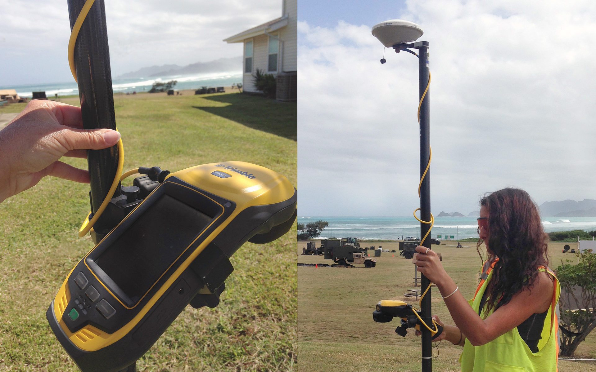
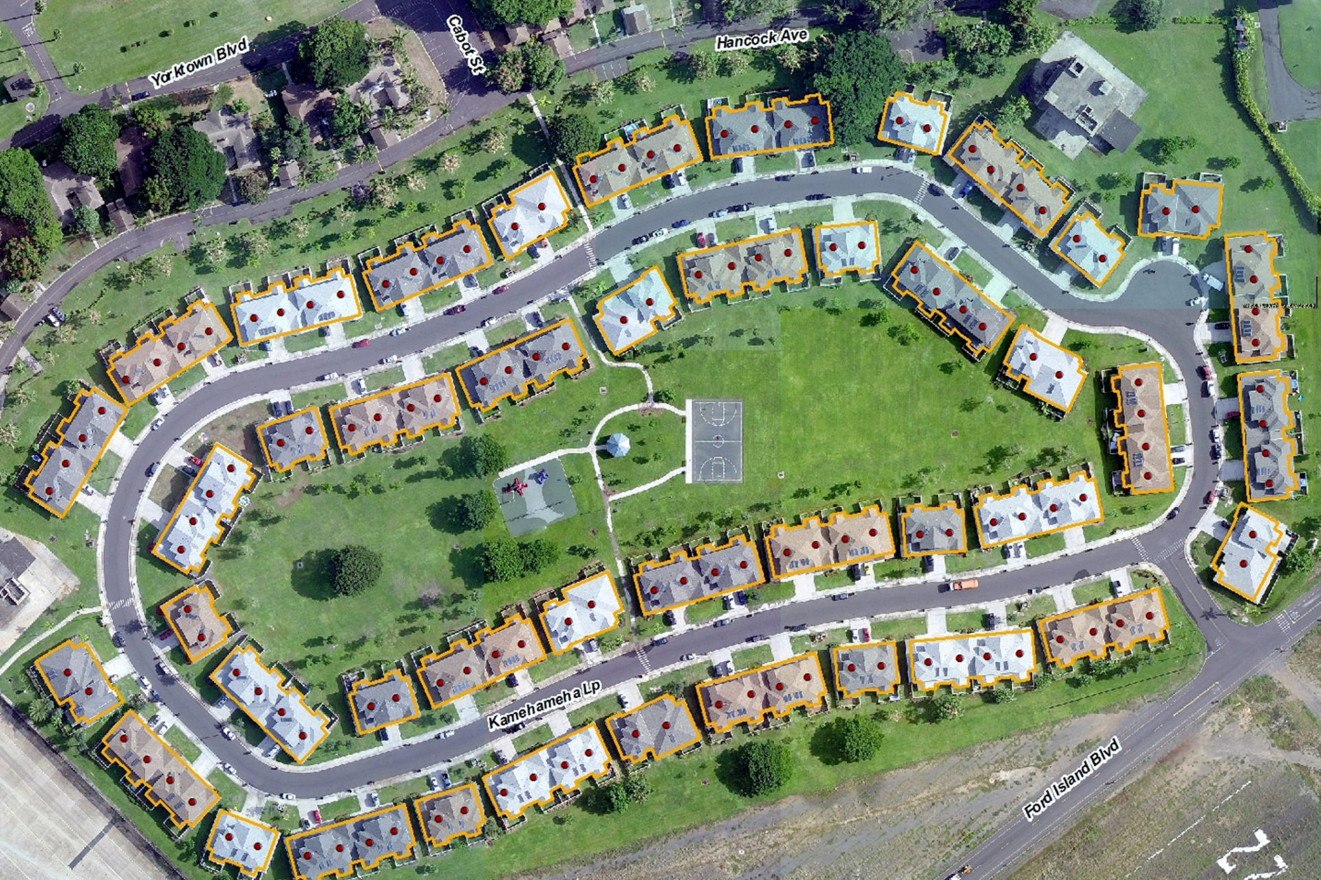
The desktop portion of this project highlighted a need for a substantial field data collection effort. Clark Nexsen was then contracted to conduct a field data collection phase of the project, to validate, verify, and accurately locate PPV housing assets. Clark Nexsen deployed up to twenty personnel at a time, at multiple locations, to visit the 390 neighborhoods scattered across 28 states, including Hawaii. Field teams were tasked with accurately dimensioning the ~34,000 PPV housing facilities using Disto laser range finders and drafting building exterior floor plans on military-spec ruggedized tablet computers. Teams also collected mapping-grade accuracy GPS locations of every residential building using Trimble laser-integrated GPS units. Once the field data collection was completed, data development including importing the new CAD building footprints into GIS and georeferencing them, to provide current real-world geometry for PPV housing. The 28 data elements collected during the initial phase of the project were then transferred into the new, accurate, field-verified geometric features – polygons representing each facility and points representing each unit within a facility.
In collaboration with another concurrent Navy contract, Clark Nexsen also incorporated critical data from the Navy Emergency Management Addressing Project (NEMAP). This early integration will allow for a smooth transition between the delivered final product for the iNFADS/PPV project and the on-going effort for E911 emergency routing.